 December
19
December
19
Crossing the Nullarbor
December 17-19
We approached the trip across the Nullarbor with mixed feelings. We were looking forward to experiencing one of Australia’s iconic road trips, but also acutely aware that it marked the beginning of our journey east and we would be home in a little under 5 weeks.
Distance is relative!
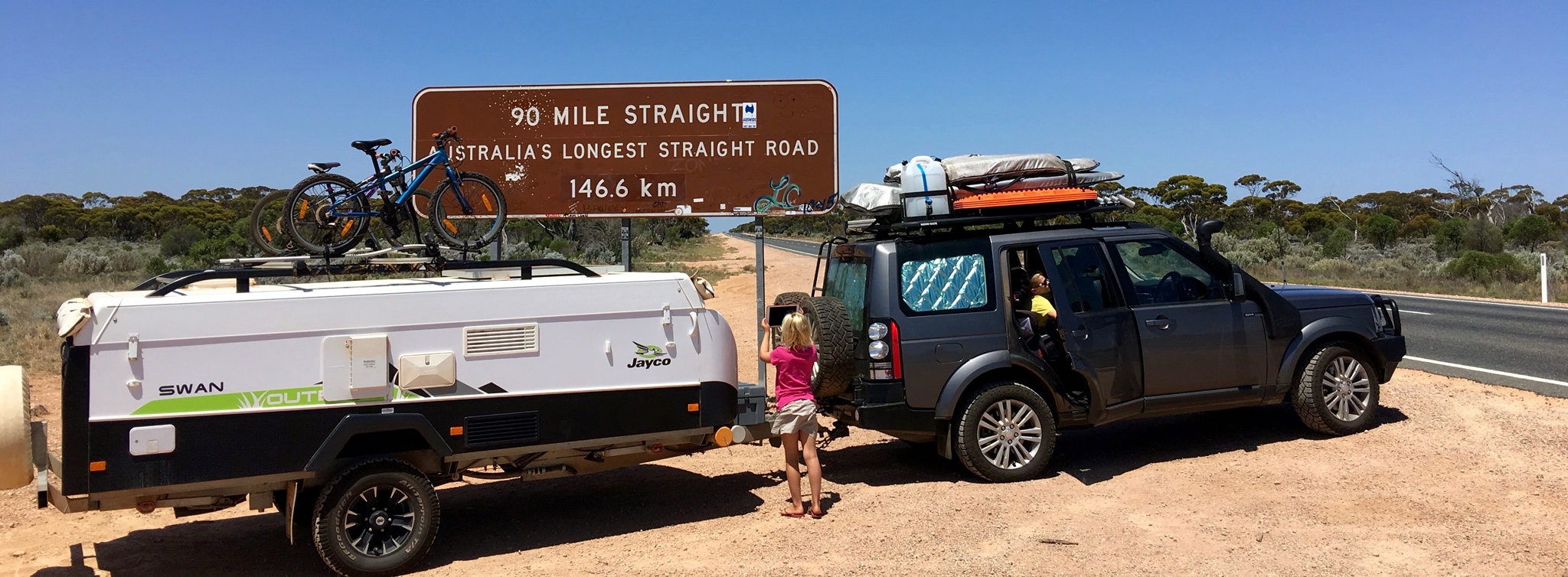
The trip from Kalgoorlie in Western Australia to Venus Bay in South Australia was just over 1700 kilometres. We took it easy and did it in 3 days… Kalgoorlie to Cocklebiddy (604 km), Cocklebiddy to Nullarbor (522 km) and finally Nullarbor to Venus Bay (635km).
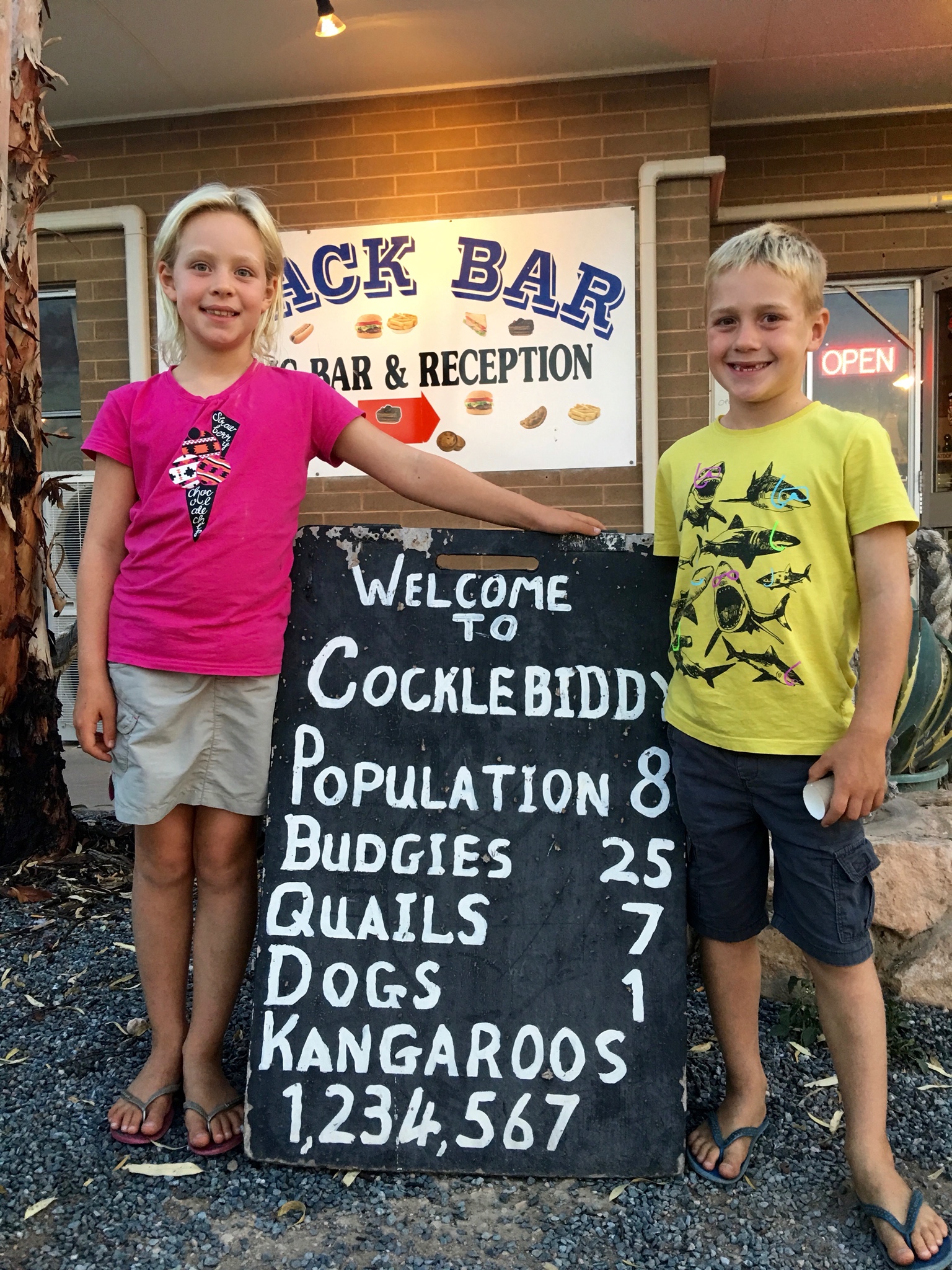
Cocklebibby population increased by 4…
Despite it being a a quintessential Australian journey, it was really pretty unexciting with the significant exceptions of spectacular scenery on the second day and the magnitude of everything. I can only imagine that the journeys legendary status came from the days when it was an outback road. It has a remarkably short history despite the fact that the first crossing of the bight was successfully (only just) completed by Edward John Eyre way back in 1841. It was only started as a rough track in 1941 as part of the war effort and was not fully sealed until 1976. It still remains the only sealed road between SA and WA.
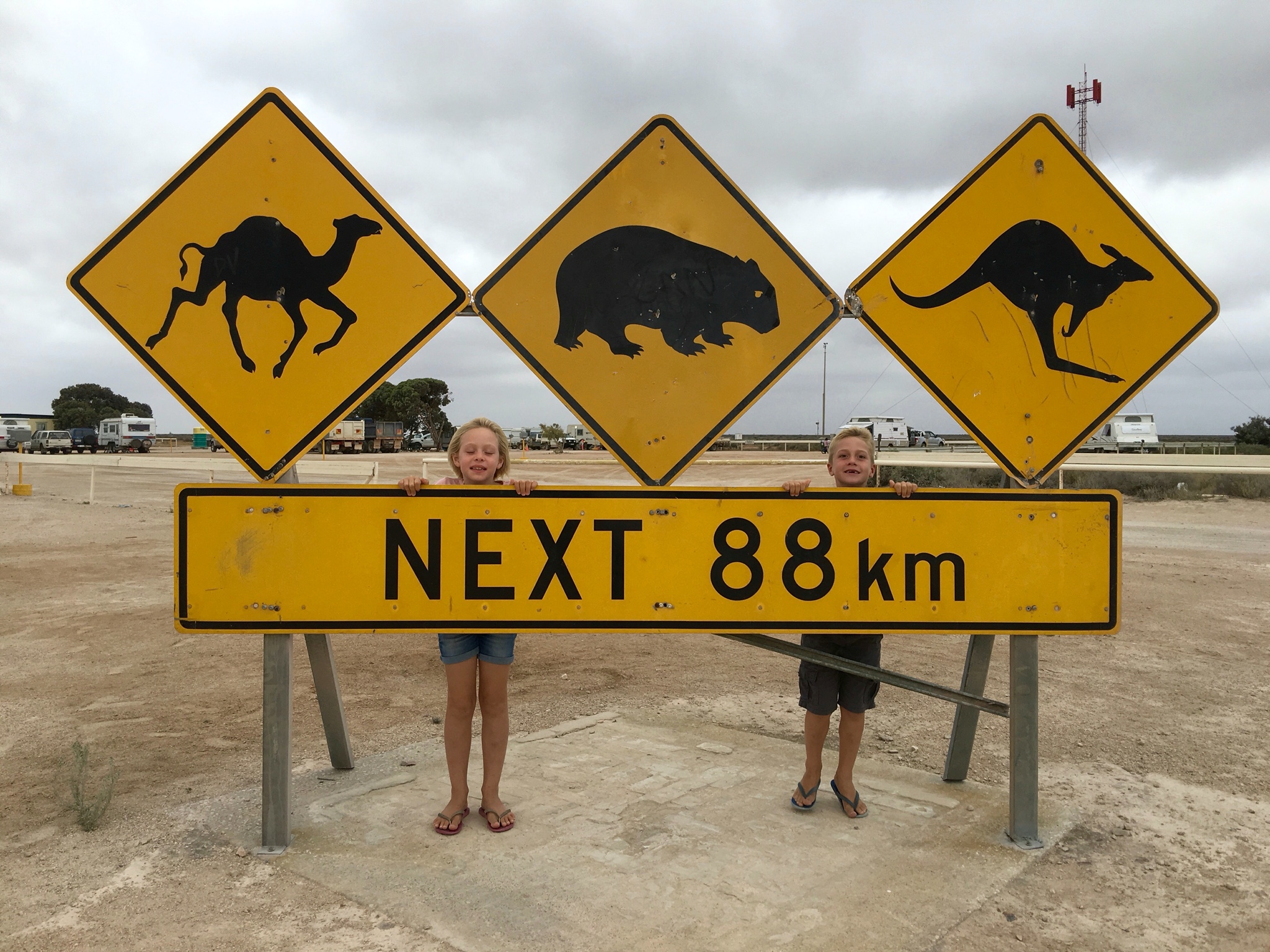
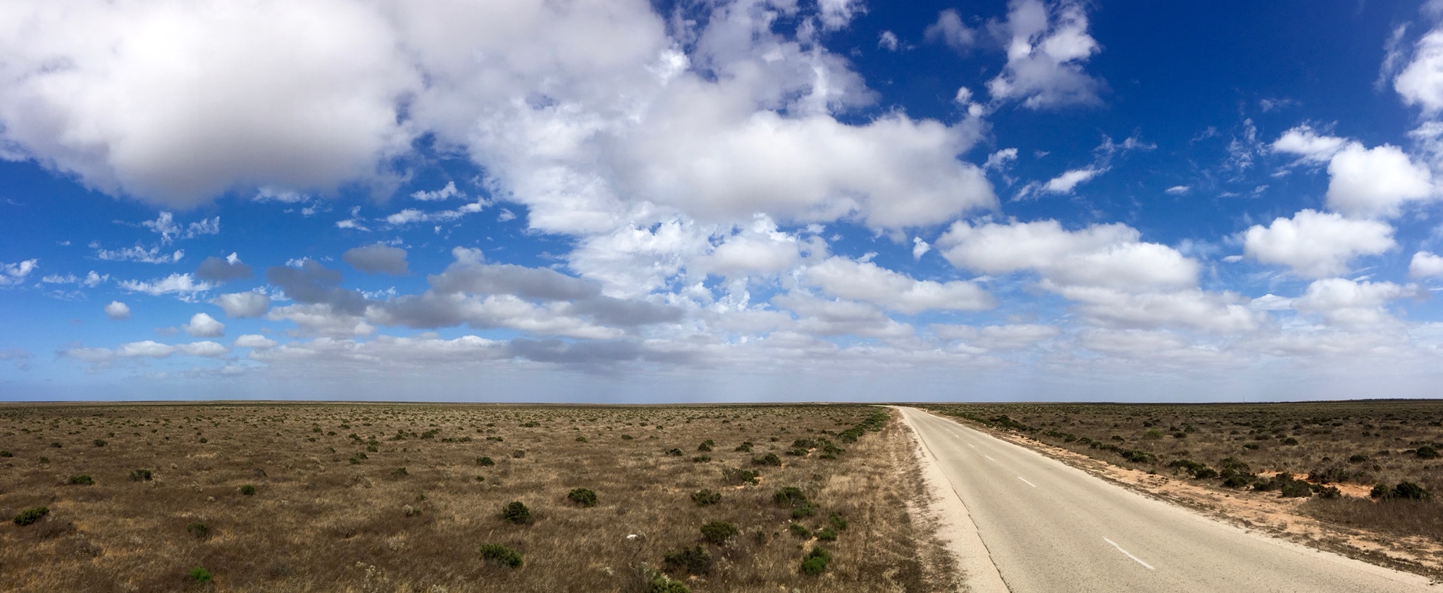
We joined the Eyre Highway at Norseman and the road became straight, featureless and lined with eucalypts. Sadly, the highlight of this first days drive was a sign proclaiming Australia’s longest straightest section of road at 146.6 km with us and a few English backpackers lining up for photographs under it!
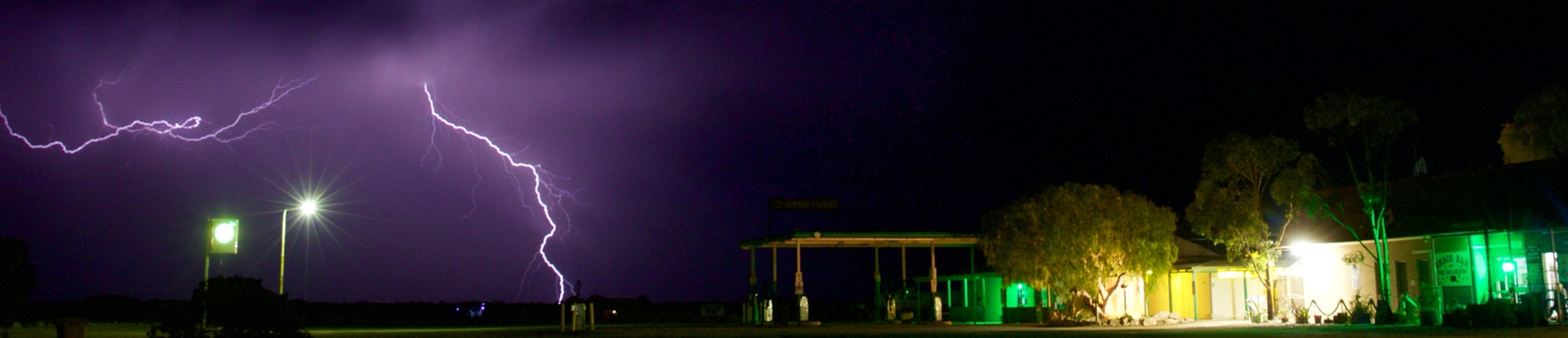
Cocklebiddy Roadhouse
We and the roadhouse survived the night, and the next day we crossed into the Nullarbor plain itself and joined the coast of the Great Australian Bight. The coast is really spectacular with dramatic limestone cliffs that make Australia appear to rise out of the turquoise southern ocean. I can see why people come from April to September and gaze down at the whales lulling in the crystal clear bays from the perfect viewing platforms that the cliffs create.
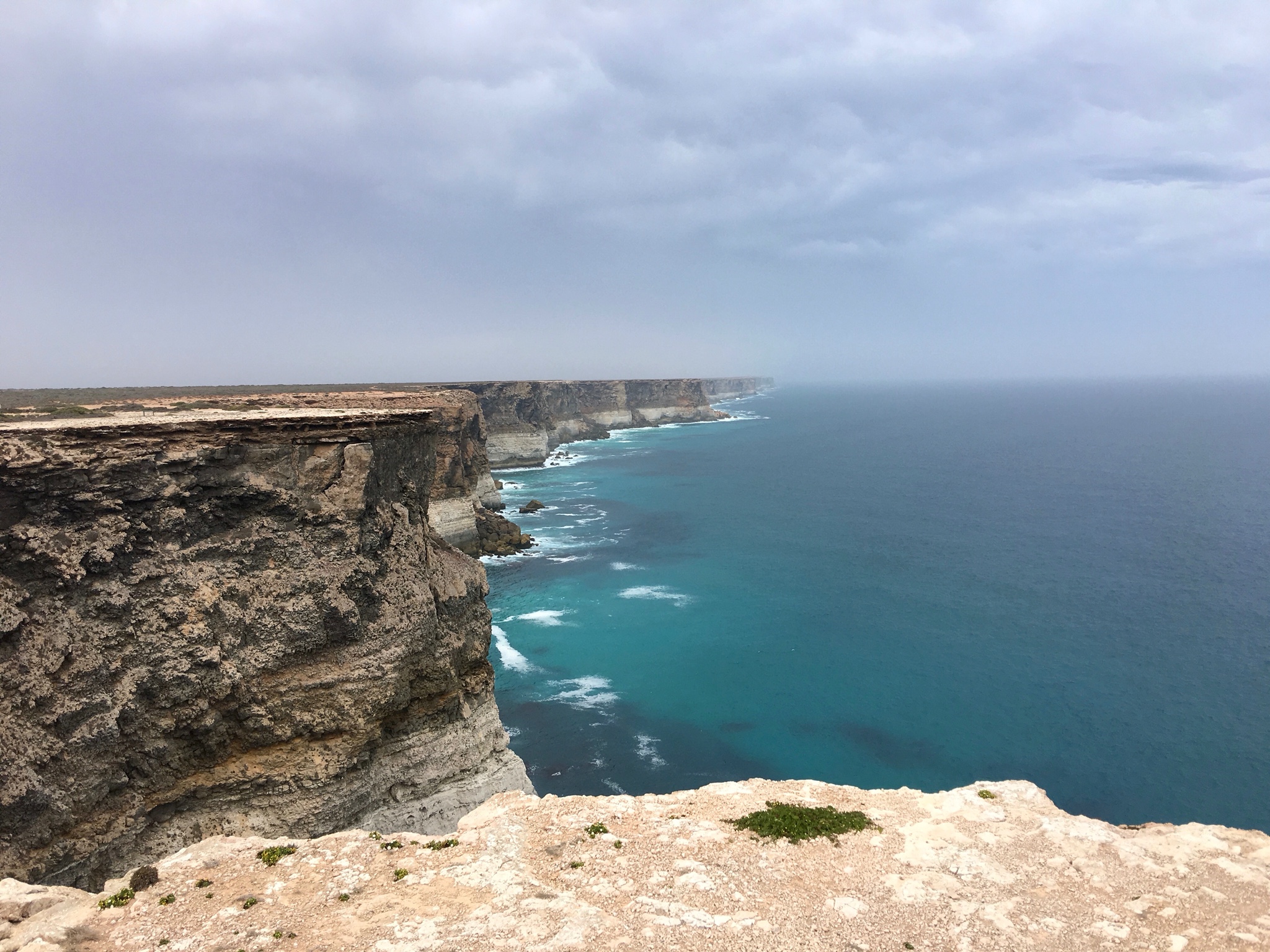
Cliffs of the Great Australian Bight
The Nullarbor, is as its name suggests is a treeless plain, null (no) and arborus (trees)! I have to admit that I didn’t get this until we read a sign. It is 220,000 kilometres squared and extends about 1100 km from Balladonia in the west to Ceduna in the east. It is deadly flat with the exception of a few limestone ridges on its northern side that hide the Great Victoria Desert. The infrequent rain drains directly into an aquifer through the limestone bed rock, creating a massive subterranean cave network. In times past, these caves provided shelter (and water) to the local indigenous population and are full of art, but interestingly are not promoted as somewhere to visit except for the occasional blowhole where the waves track a couple of kilometres inland before “blowing” to the surface.
The Nullarbor Plain, a treeless plain.
Eyre Highway from Eucla Pass
Every now and then, as at Eucla, the road crosses through these limestone ridges making dramatic passes and lookouts. Eucla is also interesting as it’s the point where, in 1877, east and west Australia were first connected by telegraph. This revolutionised communication across Australia as each message took only seconds to deliver rather than the days or weeks of coach travel. The original station in now buried in a sand dune due to a plague of rabbits, yes, rabbits! They ate all the coastal vegetation that destabilised the dunes allowing the sand to drift inland and cover the original settlement that was forced to move up onto the escarpment.
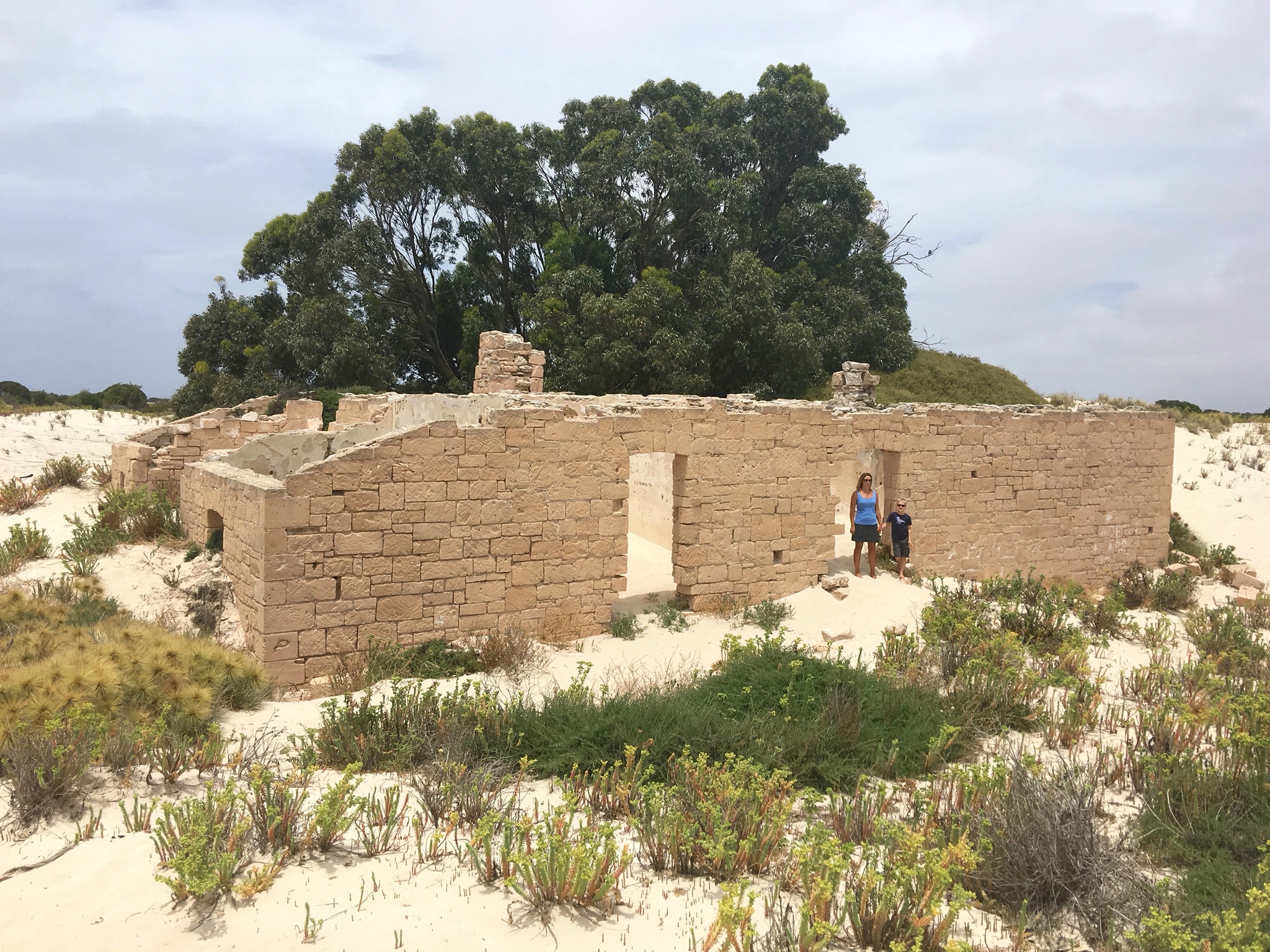
Eucla Telegraph Station engulfed in sand
The border village 12 km after Eucla was also a milestone for us as we left Western Australia for the first time in nearly five months. We have had the most amazing experiences in WA that are going to be hard to live up to. However, despite this we are relishing the idea of the clock moving two and a half hours forward…. finally the sun and maybe / hopefully / pleadingly the kids will rise at the sensible time of 6:30am, rather that the ungodly time of of 4am! Maybe we can now go to bed after 9pm again!
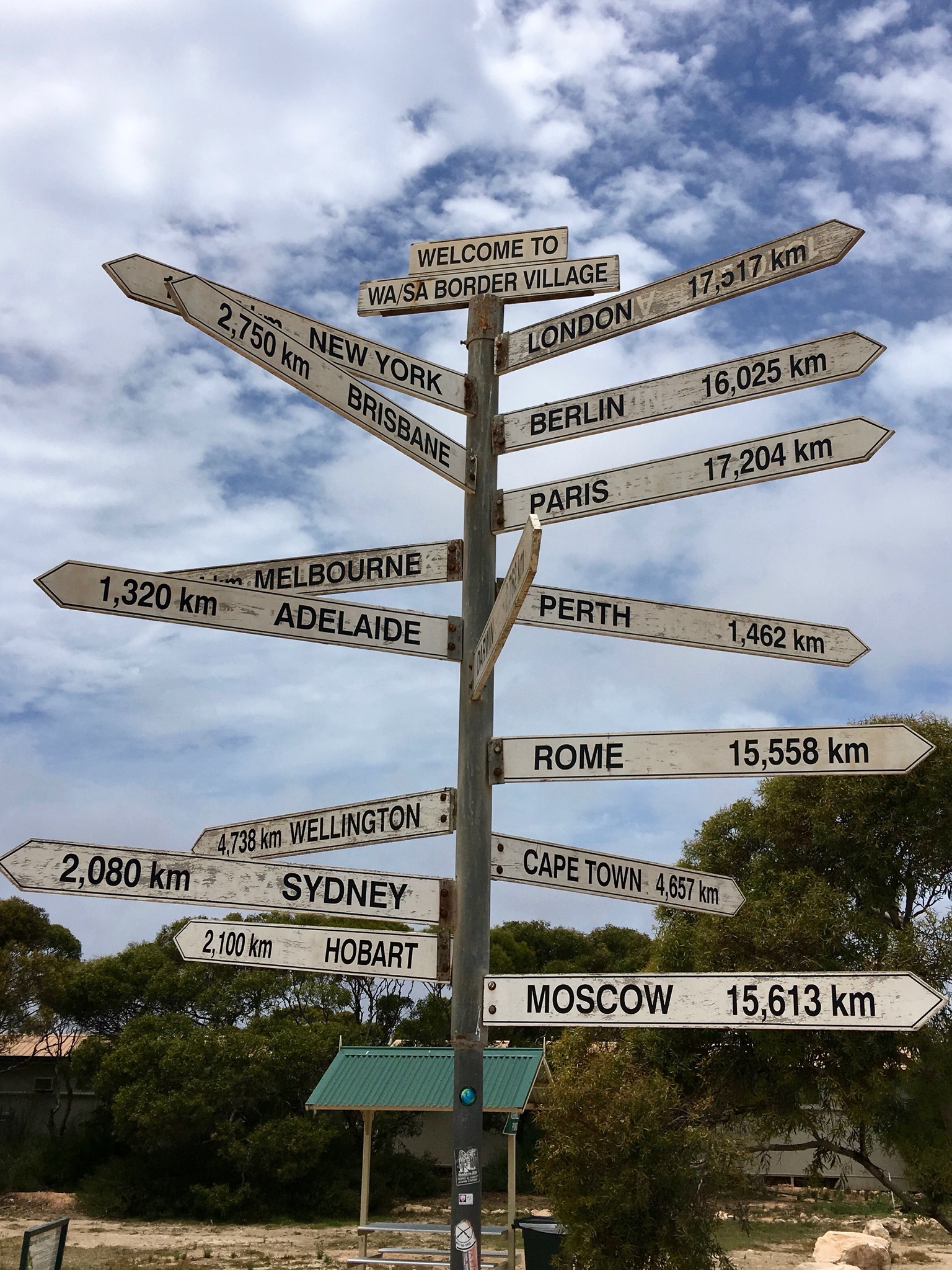
Border village, Sydney only 2000 km away!

Clocks at Mundrabilla Roadhouse… 3 time zones in 100km… confusing!
On day 2 we were going to try and get through to Fowlers Bay where Eyre started his journey, but after 7 hours of driving, prolonged by all the lookouts, we had had enough and spent a night at the Nullarbor Roadhouse. We arrived to a car park with 3 cars, but by 9pm it was jammed with over fifty families on the road for the Christmas holidays with every conceivable accessory you can think of weighing down their cars. Amazingly by the time we surfaced the next morning, a little late, as we were still on WA time, they had nearly all gone…. true life on the road!
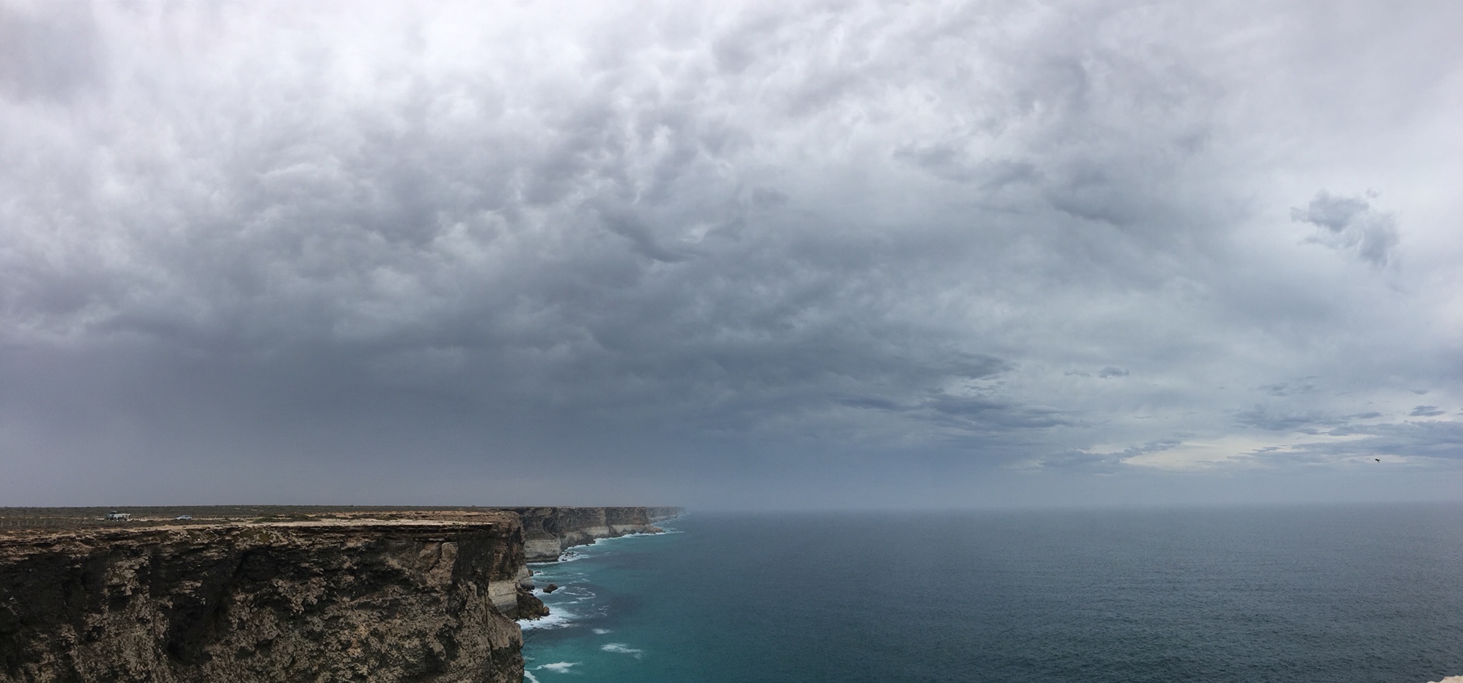
A stormy view of the Bight

Festive whale at Nullarbor Roadhouse…. what was the joke?
The final day took us via the Head of the Bight, where there is a whale watching platform and information centre, to Venus Bay on the Eyre Peninsula. Contrary to our unofficial travel guide, “Are We There Yet?”, the Bight is not a shark bite out of the bottom of Australia, although it does look like this on the map! It is a really wide bay that to be called a bight sailors had to be able to sail their square-rigged sailing vessel out on a single tack, regardless of the direction of the wind. This means the apex of the bight is less than 25 degrees from the edges (too much time on Wikipedia while driving)!
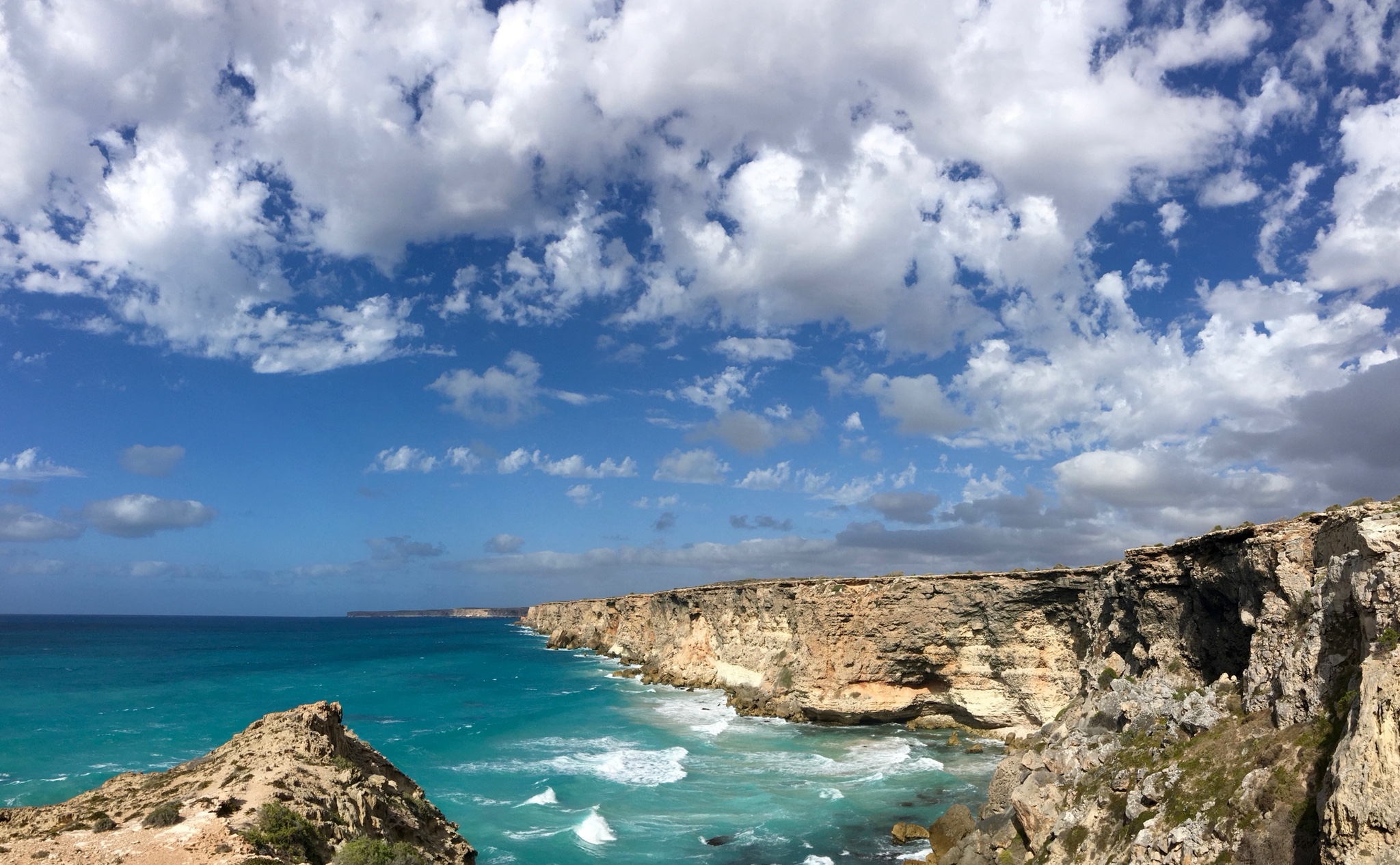
Cliffs at the Head of the Bight
The Nullarbor ended 20km west of Ceduna and the trees rather dramatically reappeared, and then just as suddenly disappeared to be replaced by the grain fields of South Australia.
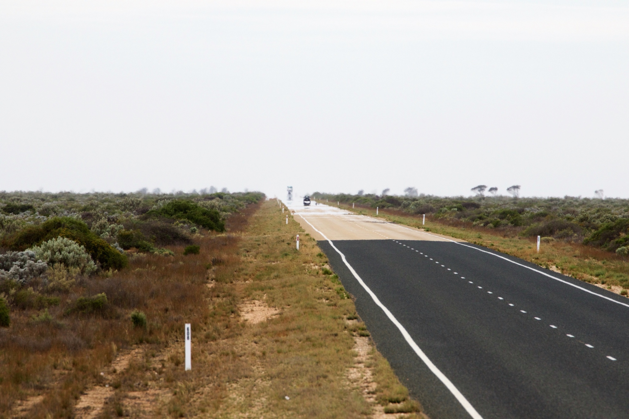
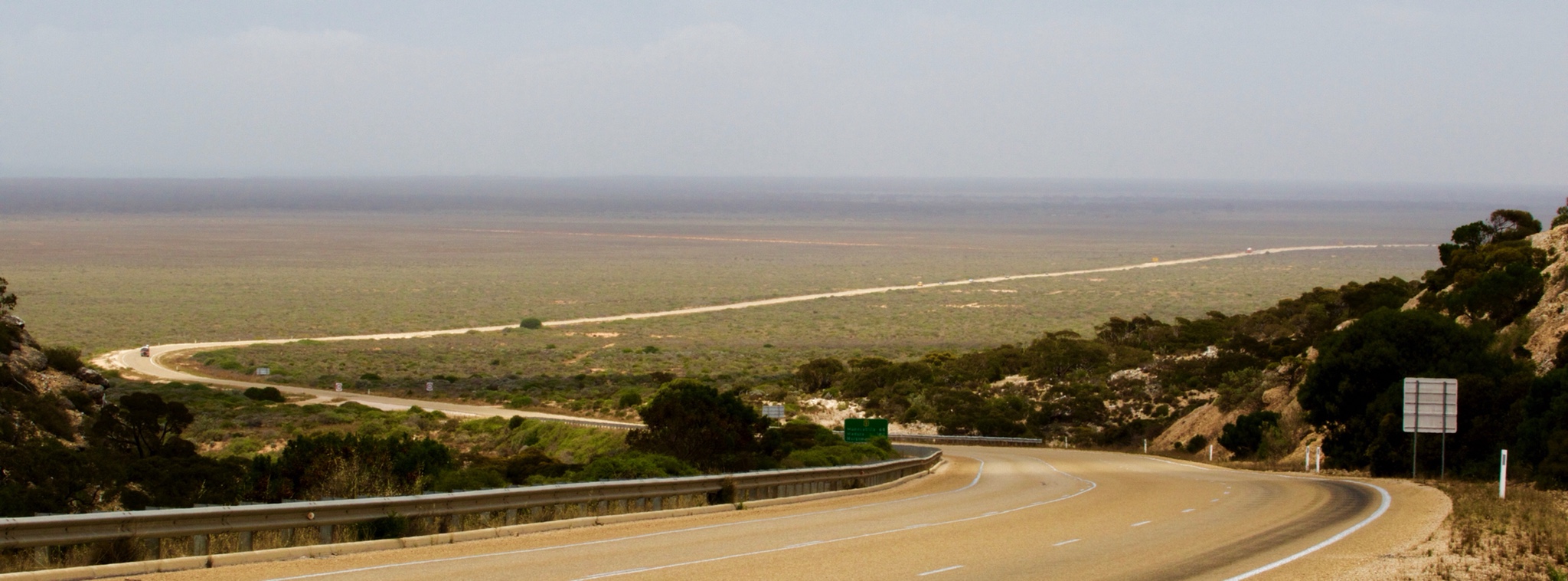
Trucks appearing from the haze
Now onto Venus Anderson Coffin Bays for a week of festivities for our Christmas on the Eyre Peninsula.
Try this interactive map. Green is camping, red is cheating!

Its surprising how interesting the “nothingness” of the Nullabore becomes when the guide is so informed”. Happy Massachusetts and a wonderful new year. Xxx
LikeLike
Poppy and Ella liked the photo of the cliffs. I want to know how Cocklebiddy got it’s name!
LikeLike